Would you like to help sponsor the flow of weather information?

THE BLOG HAS MOVED!
The blog has a new location.  An improved look with a lot of new features.


Visit the new link below!

www.weathertalk.com

http://weathertalk.com/


For more frequent updates visit my weather Facebook page - click here and hit like at the top of the page.

The world keeps changing and it seems like a lot of people have moved over to Facebook.  I post frequent weather updates on the weather Facebook page - see the link above.  If you are in need of the latest weather information then please visit me over there.  Otherwise, I have provided you below with most of the links you might need to keep weather aware.

The Weather Observatory main web-site - click here


National Weather Service forecast for your location - Click here - then enter your zip code (top left of the screen) for the most up to date forecast from the National Weather Service.  The National Weather Service updates their forecast multiple times each day. 


For the latest National Weather Service watches and warnings - click here and then click your state and county


We have regional radars and local city radars - if you see a problem or can't get one to work then try another one. 

If you have any problems then please send me an email beaudodson@usawx.com

WEATHER RADAR PAGEClick here  ---

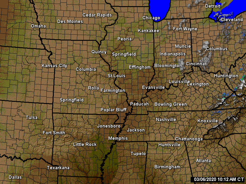
We also have a new national interactive radar - you can view that radar by clicking here.

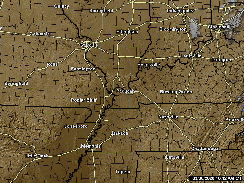
Local city radars include St Louis, Mt Vernon, Evansville, Poplar Bluff, Cape Girardeau, Marion, Paducah, Hopkinsville, Memphis, Nashville, Dyersburg, and all of eastern Kentucky - these are interactive radars.  Local city radars - click here

---
http://www.weatherobservatory.com/weather-radar.htm


Want to learn more about how to use our radars?  Here is a video with more information
Click here - http://www.youtube.com/watch?v=bfLa0hI3adU 
-
For the latest National Weather Service watches and warnings - click here and then click your local state and county
 
Satellite view - track the cloud cover


Day 1
Severe Weather Outlook from the Storm Prediction Center - graphic below and you can look at the details by clicking on this link:  Storm Prediction Center

What does slight, medium, and high risk mean?  Click here
Day 2 Severe Weather Outlook


Current Severe thunderstorm and tornado watches from the Storm Prediction Center.  For additional watch information click here


Mesoscale discussions from the Storm Prediction Center (mesoscale discussions are typically issued in advance of severe weather watches and/or to update what is happening within a severe thunderstorm or tornado watch.   If your area is circled in red then click on the map to read the latest discussion.

Current WARNINGS (a warning means take action now) that are in effect - click warning map for more information.


24 hour rainfall forecast from the Weather Prediction center (first map) and the 5 day rainfall forecast map (second map).  Keep in mind that thunderstorms can drop locally heavy rainfall.

If you would like to view all of the precipitation forecast maps then click here 

If you would like to view all of the precipitation forecast maps then click here   


.
You can listen to local emergency services, SKYWARN storm spotters, and more by visiting our scanner feed page - click here


.
The Weather Observatory is a strong partner with the National Weather Service - click here to visit your local NWS web-site.  For the most up to date warnings/advisories hit refresh on their page.

Meteorologist Beau Dodson
McCracken County Emergency Management
.

If you haven't check out WeatherBrains then you are missing out on some great meteorology discussions!  Click the logo below.


March 14, 2013: Increasingly unsettled weather

March 14th
2013

This blog is best viewed with Mozilla Firefox.  There could be issues with spacing on Internet Explorer


An increasingly unsettled weather pattern should develop over the coming days.  There will be on and off rain shower chances.  One of those chances will be this afternoon.  I am thinking 10%-20% chances.  Nothing widespread - could even be a little flurry or sleet mixed in.

Another chance for showers will arrive on Saturday into Monday.  A storm system will approach from the west bringing at least a few showers and thunderstorms.

The best chance of showers and thunderstorms will probably be Saturday night/Sunday.  Then another shot with the frontal passage on Monday. 

Severe weather is not anticipated - that is the good news.  We are doing well so far in March at avoiding severe thunderstorms.  I have a feeling that will be changing over the coming weeks.  Make sure you have a NOAA Weather Radio and an app on your cell phone (for warning notifications).    

A bigger weather system may enter the picture towards the middle/end of next week. 

If you have a chance (and hoping clouds stay away) you might be able to see the comet tonight at sunset.  Look towards the area of where the sun goes down.  PANNSTARRS - that is the comets name.

More information here   For more frequent updates visit my weather Facebook page - click here and hit like at the top of the page.
    
Spot NWS forecast for your location (keep in mind that these forecasts on the point and click page are the NWS forecast thoughts - my thoughts are here and/or on my weather Facebook page) -- Click here - then enter your zip code for the most up to date spot forecast from the National Weather Service.


No snow in the forecast


Pattern should be interesting for the U.S. over the coming weeks.  Lot of jet stream energy. 


For more frequent updates visit my weather Facebook page - click here and hit like at the top of the page.


No concerns


No major concerns


.
No wild card in this forecast package

---
----  
The forecast for severe or extreme weather
.
The McCracken County Office of Emergency Management reminds you that owning a NOAA All Hazards Weather Radio is the best way to receive notifications of severe weather watches and warnings.
.
Remember that the National Weather Service defines a severe thunderstorm as one that produces 58 mph winds or higher, hail 1" in size or larger, and/or a tornado.
  
Thursday:  Severe weather is not anticipated.  Sleet pellet or flurry possible.

Is there a chance for thunderstorms BELOW severe limits?  No

Tonight:  Severe weather is not anticipated.  No snow or ice.
Is there a chance for thunderstorms BELOW severe limits? No

Tomorrow:  Severe weather is not anticipated.  No snow or ice.
Is there a chance for thunderstorms BELOW severe limits?  No

For the most up to date severe weather outlooks - click here.
or 
Visit the Storm Prediction Center's web-site - click here  

To view storm reports from today and yesterday - click here


.
Will the Storm Prediction Center issue a tornado or severe thunderstorm watch for southeast Missouri, southern Illinois, or western Kentucky?
   
Thursday - No 
Friday - No
Saturday - No
Sunday - No
Monday - No   

To view the official Storm Prediction Center's web-site - click here  Alternative link - click here 


We have a number of new radars available on our Weather Observatory web-site !
--- 
We now offer St Louis, Mt Vernon, Evansville, Poplar Bluff, Cape Girardeau, Marion, Paducah, Hopkinsville, Memphis, Nashville, and Dyersburg Interactive City Radars.  I have added all of eastern Kentucky, as well.

We also have the two regional radars and now offer you three GR Earth radars.


Click here for our radar page - WEATHER RADARS ---

--- 
We also have a new interactive radar - you can view that radar by clicking here.
.
Want to learn more about how to use our radars?  Here is a video with more information
Click here - http://www.youtube.com/watch?v=bfLa0hI3adU


.
To view all watches and warnings in IL -  Click Here 
To view all watches and warnings in KY - Click Here 
To view all watches and warnings in MO - Click Here
To view all watches and warnings in TN - Click Here
All other states- Click Here
.
The links above are interactive and you can move around the United States by simply clicking on the national        map - or from the pull down menu where it says regions and US States.
.
To view the interactive warning  map - click here.

.
.
You can listen to local emergency services, SKYWARN storm spotters, and more by visiting our scanner feed page - click here

.

.
The Weather Observatory is a strong partner with the National Weather Service - click here to visit your local NWS web-site.  For the most up to date warnings/advisories hit refresh on their page.

.
-----------------------------
.
.
Let's check out the how much rain is forecast to fall in our region.  This map gives you a general broad brushed idea of what can be expected.  Remember the scale is at the top of the map.

Click the link below - then choose your the time period you are interested in! 

 CLICK HERE FOR THE RAINFALL GRAPHIC - then choose the time frame above the image


.
You can also now view the probability of X amount of rain (you pick the value on the web-site) in a six hour period of time.  Those maps can be viewed here.  

.


Current conditions - including temperatures, apparent temperatures, heat index, wind chill, wind, pressure, humidity, dew points, and more - click here 
.
.
You can view the upcoming days high temperature and low temperature forecasts by clicking here - choose the day - click on your state to zoom in 
.
To view recent records that have been broken - click here 
.

.
Keep in mind that these forecasts on the point and click page are the NWS forecast thoughts - my thoughts are below and/or on my weather Facebook page.

 Forecast for your local town/city - Click Here

We have a TON of new weather maps on the Weather Observatory web-site - these include temperatures, wind speed, dew points, heat index, barometric pressure, predicted rainfall, climate forecast, medium and long range maps, forecasts and more!  Click here 

Don't forget to sign up for the severe weather "heads up" email list - I usually email everyone before a big event - severe weather - tornado outbreaks - winter storms - ice storms.   Click here to join---


If you are a weather enthusiast then I recommend listening to WeatherBrains each week!  For a more in-depth look at what is happening in meteorology.


Now is a GREAT time to buy a NOAA All Hazards Weather Radio.  Better to have one before storms strike than to be without one during an event.  I recommend the Midland Model 300 NOAA All Hazards Weather Radio - that is what I use here at my house!
.
Meteorologist Beau Dodson
McCracken County Office of Emergency Management
.

.

Beau Dodson Weather - Facebook
.

To view all watches and warnings in Illinois - Click Here 
To view all watches and warnings in Kentucky - Click Here 
To view all watches and warnings in Missouri - Click Here
To view all watches and warnings in Tennessee - Click Here
.
All other states- Click Here
.
For the latest watches and warnings please visit your local National Weather Service Office web-site
http://www.weather.gov/organization.php
.
Remember most of the maps on the blog can be viewed on Weather Observatory Web-Site
.

.

March 13, 2013: A quiet WEATHER day

March 13th
2013

This blog is best viewed with Mozilla Firefox.  There could be issues with spacing on Internet Explorer


No weather concerns today!  Great news. It will be a bit cooler on Wednesday.  Highs will mainly be in the 40s.  Lows on Wednesday night will be in the 20s.  Sorry about that.

A few light sprinkles will be possible on Thursday/Thursday night.

Friday and Saturday should bring some 60s into the region - finally.

Next widespread rain event arrives on Sunday/Monday.  

Right now I do not see any severe thunderstorms in our local area through the next six days. 

If you have a chance (and hoping clouds stay away) you might be able to see the comet tonight at sunset.  Look towards the area of where the sun goes down.  PANNSTARRS - that is the comets name.

More information here   For more frequent updates visit my weather Facebook page - click here and hit like at the top of the page.
    
Spot NWS forecast for your location (keep in mind that these forecasts on the point and click page are the NWS forecast thoughts - my thoughts are here and/or on my weather Facebook page) -- Click here - then enter your zip code for the most up to date spot forecast from the National Weather Service.


No snow in the forecast


Pattern should be interesting for the U.S. over the coming weeks.  Lot of jet stream energy. 


For more frequent updates visit my weather Facebook page - click here and hit like at the top of the page.


No concerns


No major concerns


.
No wild card in this forecast package

---
----  
The forecast for severe or extreme weather
.
The McCracken County Office of Emergency Management reminds you that owning a NOAA All Hazards Weather Radio is the best way to receive notifications of severe weather watches and warnings.
.
Remember that the National Weather Service defines a severe thunderstorm as one that produces 58 mph winds or higher, hail 1" in size or larger, and/or a tornado.
  
Wednesday:  Severe weather is not anticipated.  No snow or ice.

Is there a chance for thunderstorms BELOW severe limits?  No

Tonight:  Severe weather is not anticipated.  No snow or ice.
Is there a chance for thunderstorms BELOW severe limits? No

Tomorrow:  Severe weather is not anticipated.  No snow or ice.
Is there a chance for thunderstorms BELOW severe limits?  No

For the most up to date severe weather outlooks - click here.
or 
Visit the Storm Prediction Center's web-site - click here  

To view storm reports from today and yesterday - click here


.
Will the Storm Prediction Center issue a tornado or severe thunderstorm watch for southeast Missouri, southern Illinois, or western Kentucky?
   
Wednesday - No
Thursday - No 
Friday - No
Saturday - No
Sunday - No
Monday - No   

To view the official Storm Prediction Center's web-site - click here  Alternative link - click here 


We have a number of new radars available on our Weather Observatory web-site !
--- 
We now offer St Louis, Mt Vernon, Evansville, Poplar Bluff, Cape Girardeau, Marion, Paducah, Hopkinsville, Memphis, Nashville, and Dyersburg Interactive City Radars.  I have added all of eastern Kentucky, as well.

We also have the two regional radars and now offer you three GR Earth radars.


Click here for our radar page - WEATHER RADARS ---

--- 
We also have a new interactive radar - you can view that radar by clicking here.
.
Want to learn more about how to use our radars?  Here is a video with more information
Click here - http://www.youtube.com/watch?v=bfLa0hI3adU


.
To view all watches and warnings in IL -  Click Here 
To view all watches and warnings in KY - Click Here 
To view all watches and warnings in MO - Click Here
To view all watches and warnings in TN - Click Here
All other states- Click Here
.
The links above are interactive and you can move around the United States by simply clicking on the national        map - or from the pull down menu where it says regions and US States.
.
To view the interactive warning  map - click here.

.
.
You can listen to local emergency services, SKYWARN storm spotters, and more by visiting our scanner feed page - click here

.

.
The Weather Observatory is a strong partner with the National Weather Service - click here to visit your local NWS web-site.  For the most up to date warnings/advisories hit refresh on their page.

.
-----------------------------
.
.
Let's check out the how much rain is forecast to fall in our region.  This map gives you a general broad brushed idea of what can be expected.  Remember the scale is at the top of the map.

Click the link below - then choose your the time period you are interested in! 

 CLICK HERE FOR THE RAINFALL GRAPHIC - then choose the time frame above the image


.
You can also now view the probability of X amount of rain (you pick the value on the web-site) in a six hour period of time.  Those maps can be viewed here.  

.


Current conditions - including temperatures, apparent temperatures, heat index, wind chill, wind, pressure, humidity, dew points, and more - click here 
.
.
You can view the upcoming days high temperature and low temperature forecasts by clicking here - choose the day - click on your state to zoom in 
.
To view recent records that have been broken - click here 
.

.
Keep in mind that these forecasts on the point and click page are the NWS forecast thoughts - my thoughts are below and/or on my weather Facebook page.

 Forecast for your local town/city - Click Here

We have a TON of new weather maps on the Weather Observatory web-site - these include temperatures, wind speed, dew points, heat index, barometric pressure, predicted rainfall, climate forecast, medium and long range maps, forecasts and more!  Click here 

Don't forget to sign up for the severe weather "heads up" email list - I usually email everyone before a big event - severe weather - tornado outbreaks - winter storms - ice storms.   Click here to join---


If you are a weather enthusiast then I recommend listening to WeatherBrains each week!  For a more in-depth look at what is happening in meteorology.


Now is a GREAT time to buy a NOAA All Hazards Weather Radio.  Better to have one before storms strike than to be without one during an event.  I recommend the Midland Model 300 NOAA All Hazards Weather Radio - that is what I use here at my house!
.
Meteorologist Beau Dodson
McCracken County Office of Emergency Management
.

.

Beau Dodson Weather - Facebook
.

To view all watches and warnings in Illinois - Click Here 
To view all watches and warnings in Kentucky - Click Here 
To view all watches and warnings in Missouri - Click Here
To view all watches and warnings in Tennessee - Click Here
.
All other states- Click Here
.
For the latest watches and warnings please visit your local National Weather Service Office web-site
http://www.weather.gov/organization.php
.
Remember most of the maps on the blog can be viewed on Weather Observatory Web-Site
.

.